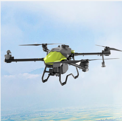
Do you know what a drone is? A drone is a tortured sort of flying machine that lacks a pilot within. Instead, a person controls the drone with a computer or a small device. They can fly their drones up to high altitudes and take pictures from above, which is very helpful in various ways.
There's a lot of things that drones are used for today. For example, they find people when one is lost, guard the wild animals, and even deliver the package right to your doorstep! One of the best applications for drones is charting, which is about measuring land and discovering what exists on it.
Surveying is the job of measuring land and other things in the real world. Surveyors use various equipment to survey the land and create maps. They use these maps to plan and construct important structures such as buildings, roads, and bridges. Without good maps, we have no idea where anything should go!
Drone technology allows surveyors to collect data from the skies. They can traverse wide areas much faster than people can on foot overland. This means surveyors can get their jobs done faster. Drones also make surveyors safer, because they can give the workers data without having to venture into dangerous locations, like steep hills or rocky terrain where it’s difficult to walk.
These 3D models are really useful, as they can uncover hazards, assist in designing new structures, and monitor changes over time. If there’s been a natural disaster, they can quickly fly over the area and see what damage has occurred. Drones are also capable of exploring remote places, such as over rivers, dense forests or even volcanoes. This allows us to get crucial information that may be very difficult to acquire otherwise.
Drones can produce highly detailed maps, for example. These maps assist engineers to build all those things that align well with the land. If the buildings are well-designed, it can help avoid issues that could increase the time of construction or incur additional costs to address. This is really important since nobody wants to pay for surprise expenses!
Drones are also less expensive than using planes, so they’re an appealing option for smaller projects or organizations that don’t have the budget to spend. This allows more people to get drone technology for their surveying work without having to spend a fortune.
Copyright © Foshan Null-space flight technology Co., Ltd. All Rights Reserved - Blog - Privacy Policy