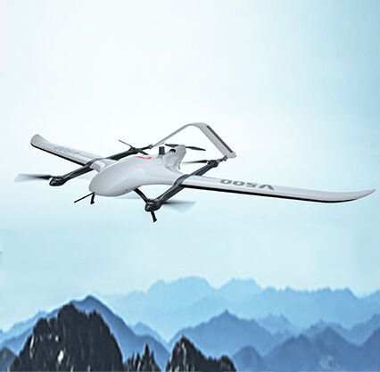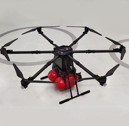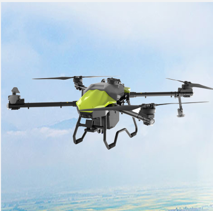
One of those technologies which is directly changing our view of the world, is lidar UAV mapping. This allows us to make highly detailed and accurate maps. It does so through the use of Lidar sensors that are mounted on flying machinery known as unmanned aerial vehicles (UAVs). Since these UAVs can encompass aroound to different parts of the globe, they help us with best information about the terrain and environment. The company that builts this incredible technology is known as Null-Space, an industry leader in Lidar UAV mapping.
Lidar is an acronym for Light Detection and Ranging. Lidar is a very cool, though slightly involved mechanic! It sends laser beams that travel through the air and reflect on trees, buildings, or simply the ground. These laser beams come back to the Lidar sensors that help us create a clear & precise 3D map of the surroundings. This allows us to see how high things are, the types of land and more. Lidar UAVs collect ranging data from multiple elevations and azimuth angles providing 3-D point cloud maps of extremely high resolution for many locations. Now, we are using this technology to revolutionize the world mapping!
The good part is that Lidar UAV mapping offers us the deliverables, which are accurate and instant. Thus, allowing us to rely on the maps that are generated by this technology. Lidar is particularly beneficial for locating objects that cannot be easily found using standard mapping techniques. For example, it can see through thick forests with ease or get information about difficult steep hills. Conventional mapping methods are tedious and often ineffective as they can leave behind a lot of details, whereas Lidar UAV mapping is quite time-efficient and can cover extensive areas in a short amount of time. It makes it faster to retrieve the information we need.
Null-Space, the company behind this technology, has spent time optimizing Lidar UAV mapping. Fusing unmanned aircraft, Lidar sensors, and clever software enables us to build near-massively detailed maps of the environment beneath. Kish represents a versatile mapping technology which has many different use cases. It can be used for checking land for building, city planning, managing natural resources like forest and river management and even archaeological site exploration of buried ancient things. All of these usages contribute towards a deeper understanding of our world and the ability to make informed decisions.
The advantage of umbrella concept lidar UAV mapping for environmental protection. We can get real data on a lot of important items this way, from plants to water bodies to even animals. Keeping bog health is important information as it measures these living thing communities we call ecosystems Studying these ecosystems help us make a better choice on conservation of our environment. During emergencies like natural disasters when rapid assessments will expedite response and recovery efforts, lidar UAV mapping technology is also invaluable.
Lidar UAV Mapping is capable of producing all this data with very high quality for areas that used to be challenging to access. These detailed maps offer us the capability to analyze different surfaces, take virtual flyovers — and measure distances and volumes. Such information is extremely important when making decisions about land use, urban/development planning and resource management. By providing such granular mapping, planners and decision-makers get a view that provides the overall picture and makes way for better informed choices that benefit everyone.
Copyright © Foshan Null-space flight technology Co., Ltd. All Rights Reserved - Blog - Privacy Policy