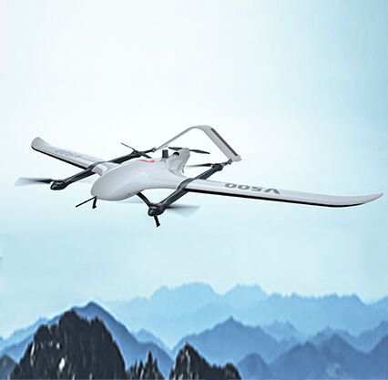
Null-space is applying cutting-edge airborne technology to assist people who work the land. This technology: fixed wing LiDAR. It works like a chameleon’s eyes, which can see things at many different angles. Chameleons can be stubborn and/or camouflage themselves into their environment, but are still able to look 360 degrees around themselves, helping them better understand their environment. Similarly, fixed wing LiDAR helps scientists and surveyors understand key information about the land and how it appears overhead.
One awesome tool is fixed wing LiDAR, it uses lasers to extract information about the ground and all that is on it. LiDAR stands for "light detection and ranging. “ Here’s what happens: this tool sends out a laser beam down toward the ground — and measures how long it takes for that beam to reflect off something, whether it be a tree or a building. This process generates a detailed image of what the land looks like in three-dimensional space, or 3D!
Many others (including scientists, archaeologists and even filmmakers!) will come to mind when thinking of applications beyond land surveying for fixed wing LiDAR technology. To detect ancient structures hidden in thick forests or other structures, archaeologists use fixed wing LiDAR. This awesome tool allows them to uncover new clues about how ancient cities were constructed and what life was like thousands of years ago. It is their first taste of things in the past, and very exciting!
Fixed Wing LiDAR in film industry for creating realistic backgrounds for their movie scenes. This technology allows filmmakers to create realistic, elaborate environments that look good on screen while spending less on sets. Then, the directors and producers can use these technologies to create stories in a more in-depth and realistic environment. This makes it popular in film making as it is much cheaper than using traditional ways.
As a result, fixed wing LiDAR revolutionizes surveying globally. It can collect data from high in the air and generate 3D maps of the ground below. Such data is useful for all parties involved in the surveying process, from the ones gathering the data to the people studying it. Then, when compared to older surveying methods, it really speeds up the entire data gathering and data analysis process, since it takes considerably less time.
The GPS is a very important component of the fixed wing LiDAR system. GPS is used to track and log the precise location of every data point gathered. While the plane flies across the area being mapped, the GPS unit correctly indicates both the location and direction of the plane. This information is required for accurate placement of all data points. Once the data is collected, it is fed through special software that can reconstruct the 3D image of the Earths surface based on the collected data.
Visualizing and interpreting LiDAR data is more than just assembling the data into a 3D view. The skill and experience to assess the information accurately are hard-sought and hard-earned. Working professionals recognize that interpreting and analyzing the data is quite essential for making effective decisions in their field. The data collected needs to be cleaned and processed, that is, all possible errors or incorrect data points need to be removed. From here onwards, complex analysis of the data can be performed perpetuating your information sourcing through the same thematic mapping as elaborated in the previous sections. This enables construction and development project planning by surveyors better.
Copyright © Foshan Null-space flight technology Co., Ltd. All Rights Reserved - Blog - Privacy Policy