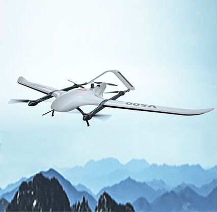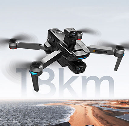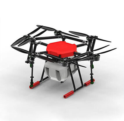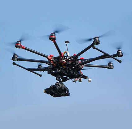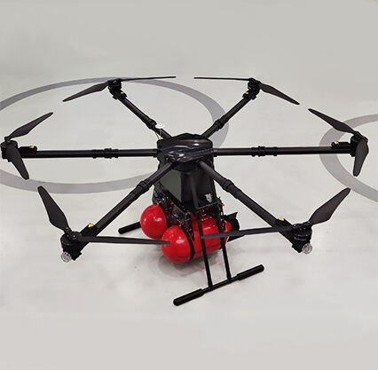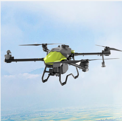
Drones are an incredible piece of heavy machinery that so many jobs, including surveying, have relied on heavily. We have these incredible drones that are seeing use in speeding up the surveying process while improving accuracy at Null-space. In this article, we will find out how drones are taking over land surveying and why they come in handy, as well as the advantages that make drone surveying stand out from traditional methods. Consider this a warm and fuzzy intro to some pretty nifty tech.
Land surveying used to be a time-consuming process that required a large work force on the ground. It was a big job! But these days, surveying is much faster and more accurate with drones. In the pre-drone era, surveyors actually traversed the territory being surveyed. Marginal the least!! This can be very slow and at times also dangerous, especially in rugged or challenging locations. Drones, on the other hand, are able to fly high above our land and capture clear pictures and videos of some areas for a better overview of what is located below.
We utilize smart drone technology at Null-space to produce 3D models and maps of the land. This gives us much greater insight into the area and aids in identifying any issues requiring rectification. We can see things from the sky that we cannot see as there are obstacles like rocks, trees etc. They are capable of access to areas that are difficult or dangerous for a human reaching on foot. That allows us to increase the richness and detail of our surveys so that we can cover information that we will miss otherwise.
One of the biggest industries that have transitioned into using this drone technology is surveying. Surveying with drones has many advantages over conventional surveying techniques, and this is the reason. Here are some of the useful ways drones are helping in several fields:
Drones as survey tools have probably one of the greatest advantages which is the amount of data they are capable of collecting. This ability allows drones to shoot high resolution images & videos, generate hierarchical 3D data structures and elaborate maps. All of this information ensures we can spot any issues, plan future projects and decide in a better manner based on what we uncover.
We analyse all this data in-house at Null-space, with our advanced software. Our software is complemented by a powerful visualization system that aids us in modeling and mapping 3D space, analyzing the lands being surveyed, and detecting any problems that need attention. This application stuff enables us to prepare more refined reports and we can get more details about the land under survey for our clients.
Drone-powered surveys can also streamline the workflow process. Conventional surveying methods are time-consuming and need more manpower to accomplish the task. On the other hand, for surveying using drones we just need a team of professionals, which helps the process in away easier & convenient.
Copyright © Foshan Null-space flight technology Co., Ltd. All Rights Reserved - Blog - Privacy Policy